
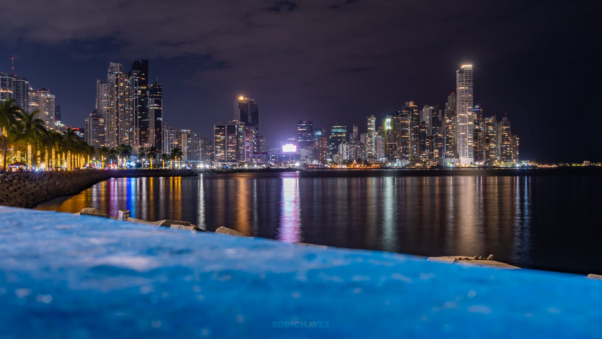
Five named photography location spots, each with its own GPS pin, address and tappable Maps link with composition ideas, scenario-based camera settings, access notes and a two-day shooting outline. Ten named landmarks have coordinates, address/area references and tappable Google Maps links. A quick pin directory keeps the references together.
Cinta Costera; Casco Antiguo; Amador Causeway with Biomuseo; Miraflores Visitor Center; the private-access Paitilla skyline option. Seven distinct owner photographs appear across the spot layouts, with the night skyline repeated on the cover.
Pins locate named landmarks, not tested tripod positions. Some photos are historic aerial or elevated views; they do not grant flight or property access. Private hotel access and paid attraction entry are not included. Opening times, fees, ship schedules and weather can change.
Photography spot GPS references
Five named photo spots, each with its own GPS reference. These arrival references do not claim an exact historical camera position. The extra Amador, Herrera, Independence Square, seafood-market and Paseo pins are route/scouting references, not five additional photographed spots.
- Cinta Costera: Pacific Lookout: 8.961824, -79.534482. XF68+P6C, Cinta Costera, Panamá, Provincia de Panamá, Panama. Open Google Maps. Area orientation point.
- Casco Antiguo: Plaza de Francia: 8.949820, -79.532049. C. 2a Oeste 85-81, Panamá, Provincia de Panamá, Panama. Open Google Maps. Area orientation point.
- Biomuseo, Amador Causeway: 8.932221, -79.544635. WFH4+XG, Calz. de Amador 136, Panamá, Provincia de Panamá, Panama. Open Google Maps. Building location for aerial reference.
- Miraflores Visitor Center: 8.997272, -79.591360. XCW5+WF2, Panama City, Panamá Oeste Province, Panama. Open Google Maps. Visitor entrance.
- Plaza Paitilla Inn skyline: 8.973645, -79.516481. XFFM+C9H, Av. Italia, Panamá, Provincia de Panamá, Panama. Open Google Maps. Hotel entrance; private access.