
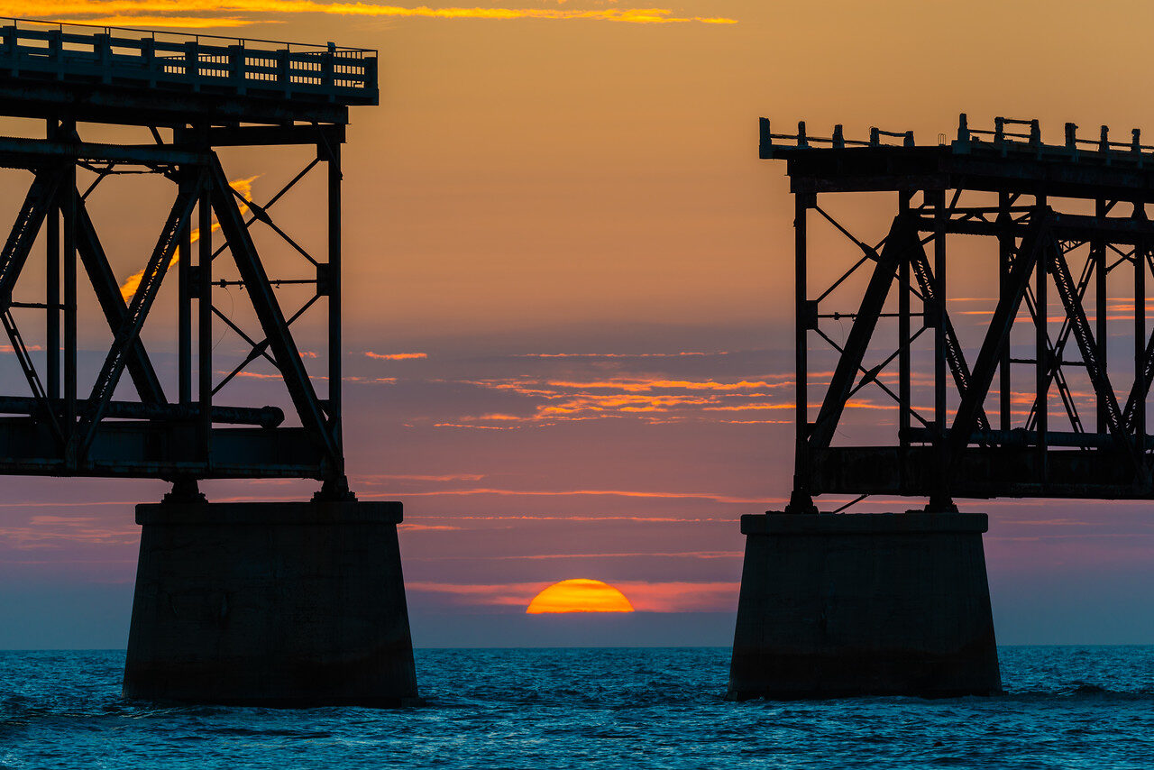
Choose a bridge shape, skyline line or readable night sign before chasing a historic frame. This guide covers Bahia Honda old bridge, Old Seven Mile Bridge, Strand/Walgreens, Sloppy Joe's and Tropic Cinema, Mallory Square sunset, Higgs Beach Memorial Pier, 801 Bourbon Bar exterior, San Carlos Institute and Smathers Beach as ten spots, not a separate location for every view.
Included:26-page landscape PDF, ten named photography spots, fourteen distinct historic owner photographs, ten named landmark coordinates with tappable Maps links, light and composition choices, starting exposure tests, short session routes and fallbacks.
The Bahia Honda spot separates the missing-span sunset from the wider truss profile and keeps day-use closing limits beside the advice. Seven Mile aerials teach line and color, while the researched ground plan uses the public pedestrian span. Key West studies address readable signs, reflections and light trails without blocking entrances or crossings.
Named pins are orientation references, not exact camera positions. Historic aerials do not grant drone permission or establish a launch route. Sun alignment, current lighting and puddles are not guaranteed. Follow current park capacity limits, closures and photo rules. Tickets, campsites, island admission, transport and photo permits are not included. Settings are suggested tests, not source EXIF.