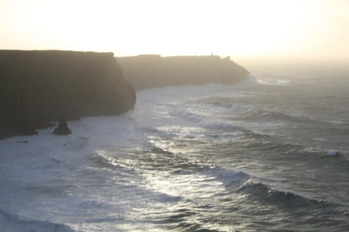
Ireland delivers more usable light per kilometre of coastline than almost anywhere in Europe. Cliffs face west and drop a hundred metres into the Atlantic. A monastery sits on a pyramid of rock off the Kerry coast. Dublin’s Georgian quarter glows at blue hour. The Giant’s Causeway turns hexagonal under low northern sun. This guide gives you 8 GPS-mapped spots with one-tap Google Maps links, lens picks for each vantage, golden-hour timing for every month of the year, and a 7-day driving itinerary built for the way working photographers actually shoot a country.
15 pages. PDF instant download. Cover the Cliffs of Moher, Skellig Michael, Dublin, Ring of Kerry, Connemara and the Twelve Bens, Giant’s Causeway, Dunluce Castle, and Killarney National Park. Includes a full packing list, a gear-by-vantage-point matrix, and partner links for the cameras, lenses, tripods, and tours we actually use on the road.