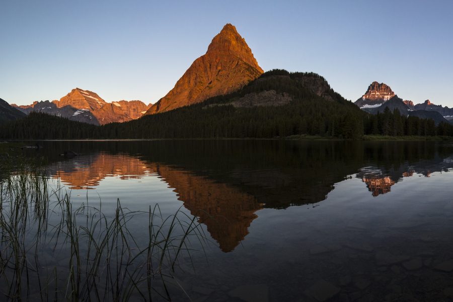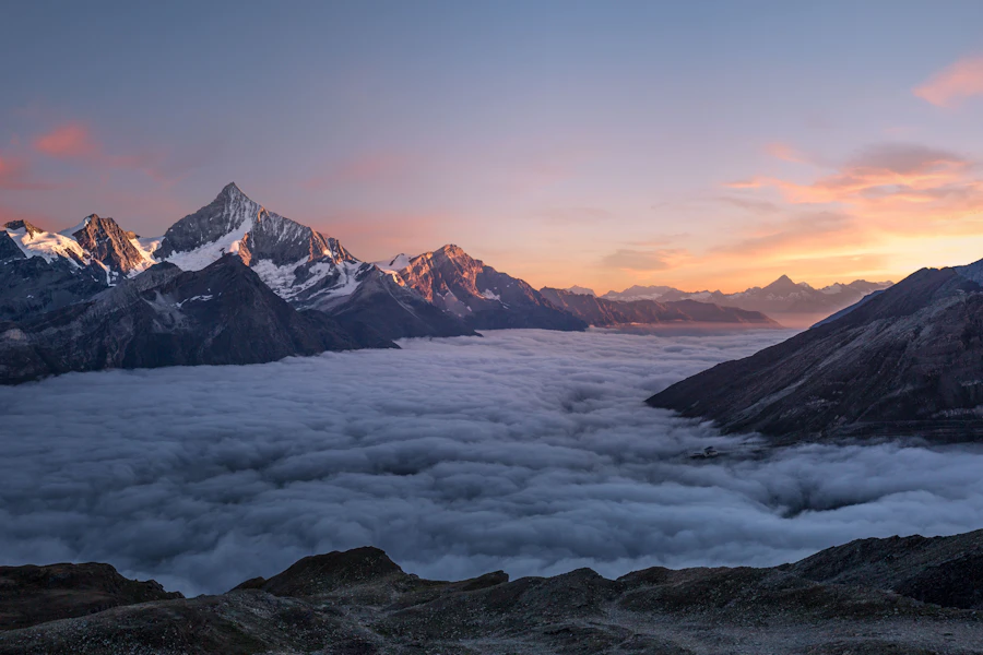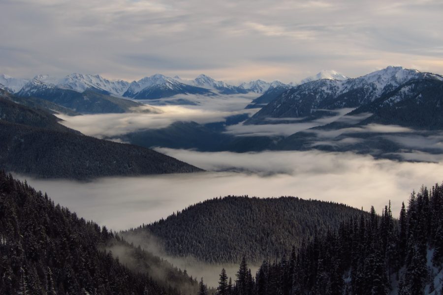
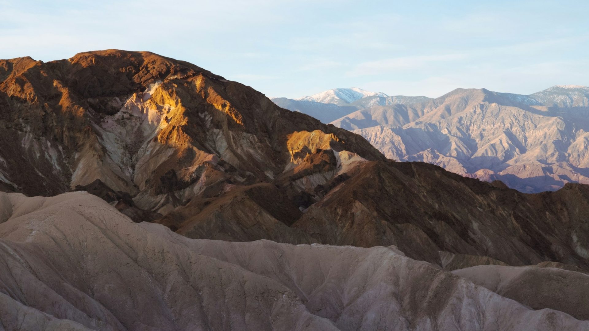
Featured photograph: Photo by Bronson Valley via Unsplash (source; Unsplash license).
Death Valley is a place to separate the frame from the drive. The basin, badlands and dunes need different light, and the distances between them are part of the plan. Start with these five named destinations before adding more remote routes. Each pin below marks a named landmark or arrival point, not a surveyed camera station. The paid guide goes further, including trips that need much more preparation than the main paved-road stops.
Photographs are credited to their sources. This is a researched planning article, not a claim that the author photographed every location. Check current official park conditions before leaving, and treat settings as starting points rather than a guarantee.
1. Zabriskie Point
 Save
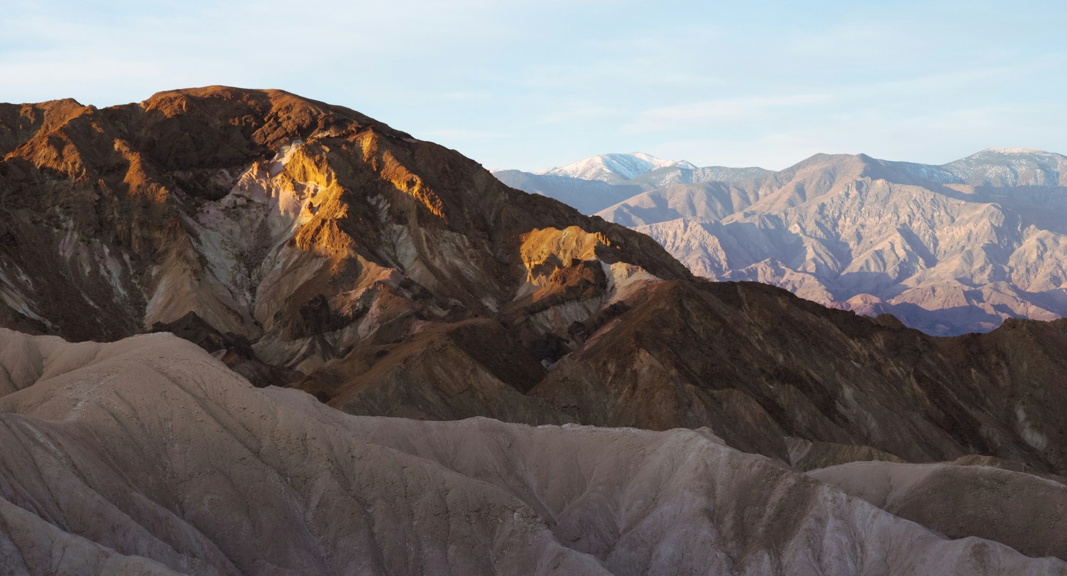
The park's classic sunrise frame: golden badlands ridges of the Furnace Creek formation with Manly Beacon as the anchor, from the paved overlook as first light rakes the eroded folds.
First light is everything here – the ridges go from gray to hammered gold in minutes, with Manly Beacon catching the earliest color. Our hero is exactly that moment. Work the ridge lines as leading layers; a mid-telephoto compresses the folds into stacked waves. Blue-hour pre-dawn gives a second, quieter frame.
Starting settings: Start at f/11, ISO 100 on a tripod. Bracket at sunrise – the beacon lights long before the gullies do.
Landmark GPS: 36.4201, -116.8122
Named destination: Zabriskie Point
Death Valley National Park, California
Open Zabriskie Point in Google Maps
Access: Zabriskie Point on CA-190 east of Furnace Creek; short paved uphill path from the parking area to the overlook; entrance pass kiosk at the site (credit/debit only). North Highway approach carries flood-damage cautions – loose gravel and missing shoulders. Entrance pass required ($30 per vehicle, 7 days). The pin is the named Zabriskie Point.
2. Badwater Basin
 Save
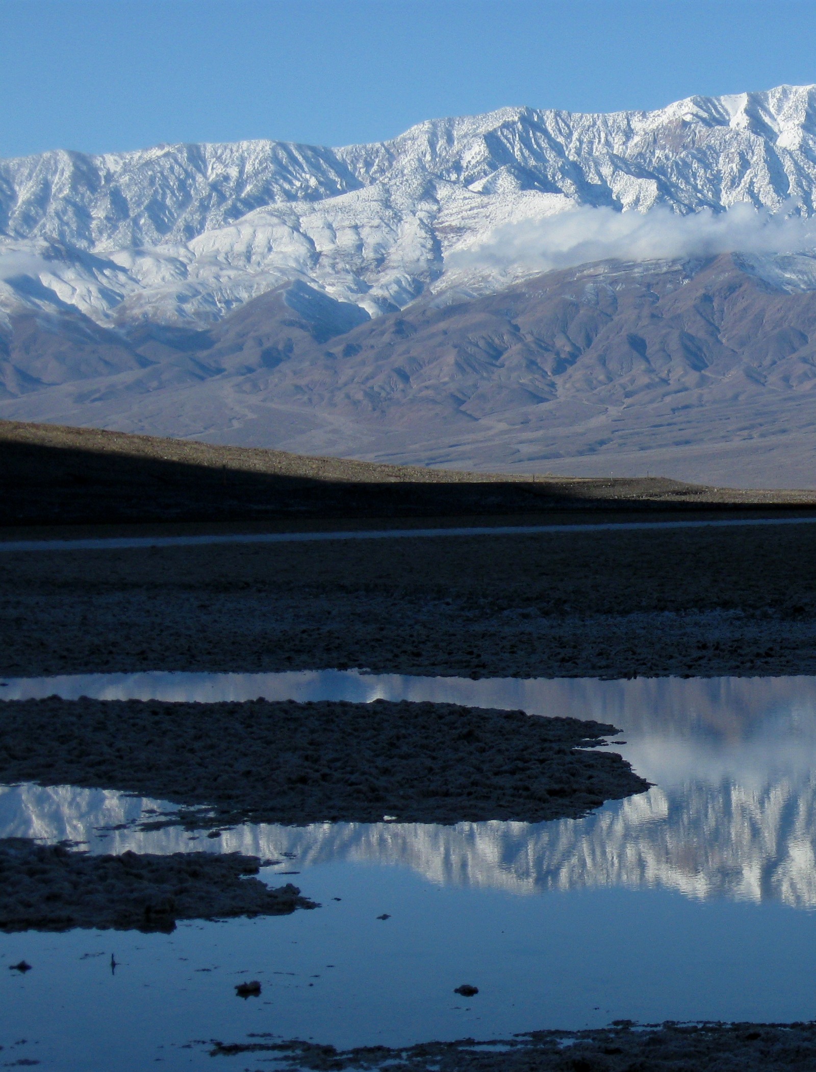
Cracked salt polygons stretching to the Panamint Range from the lowest point in North America, 282 feet below sea level – walk out for clean polygon patterns, and look back for the cliff-face SEA LEVEL sign.
The polygon field is the frame: low camera, hexagon cracks as foreground geometry, Telescope Peak behind. Dawn and dusk give the gradient skies – our hero runs the polygons to the horizon under dusk color. Seasonal pools add Telescope Peak reflections after rain. The SEA LEVEL sign on the cliff above the parking area is the scale shot.
Starting settings: Start at f/11, ISO 100 on a tripod. Get low for the polygons; a polarizer cuts crust glare at midday.
Landmark GPS: 36.2461, -116.8185
Named destination: Badwater Basin
Death Valley National Park, California
Open Badwater Basin in Google Maps
Access: Badwater Basin on Badwater Road south of Furnace Creek; boardwalk to the salt flat, then a flat walk out onto the crust for the polygon field; entrance pass kiosk on site (credit/debit). The flood-damage caution on Southern Badwater Road applies SOUTH of the basin toward Shoshone – the approach from Furnace Creek is on the open paved corridor. Entrance pass required. The pin is the named Badwater Basin.
3. Mesquite Flat Sand Dunes
 Save
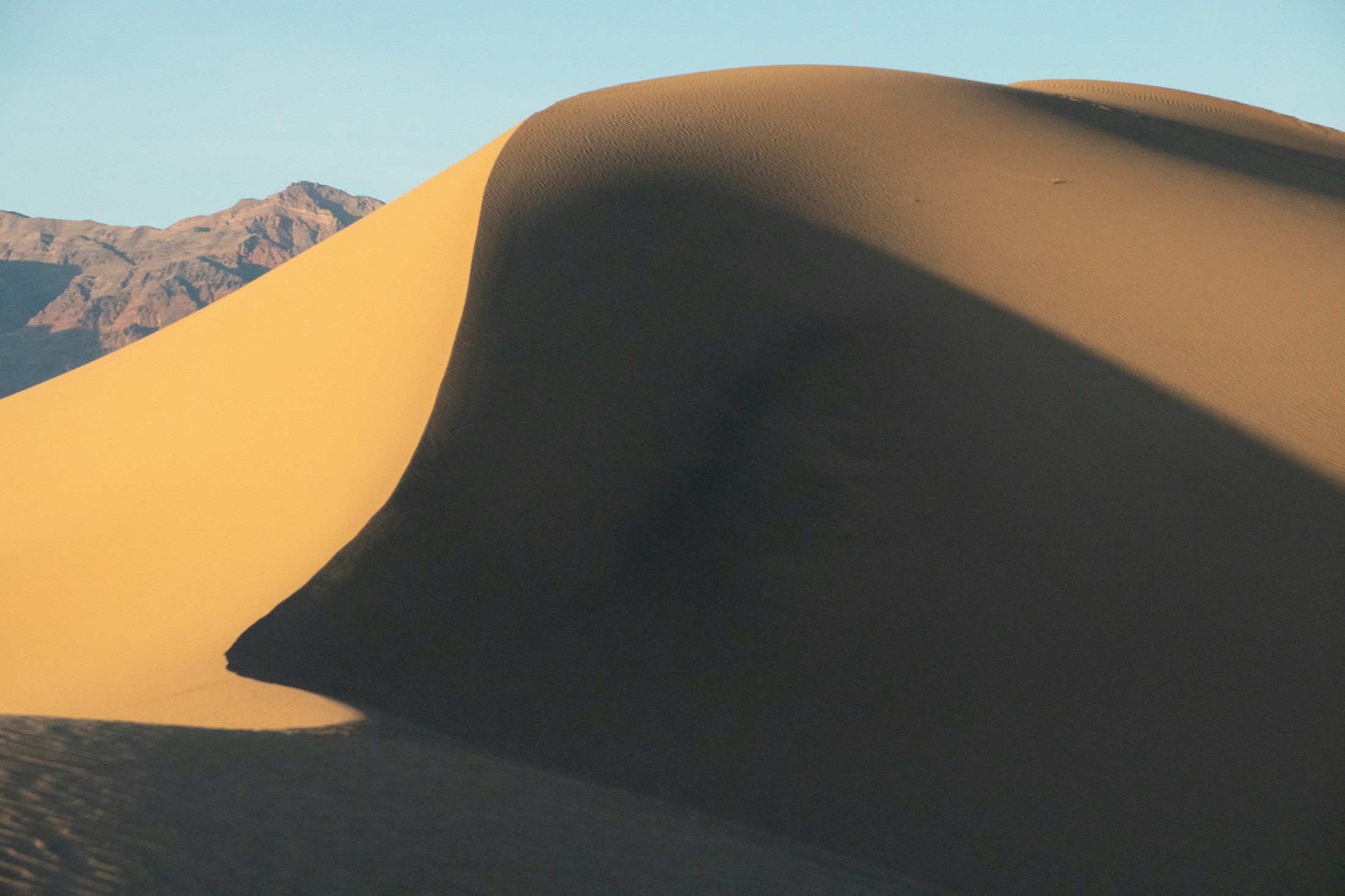
Classic crescent dunes near Stovepipe Wells with rippled sand and mountain backdrops – side-lit at dawn and dusk, with mesquite snags and tracks as foreground.
Side-light sculpts the dunes: dawn and dusk turn the ripples into stripes and the crests into blades – our hero isolates a sharp crest where warm sand meets deep shadow. No trails means pristine sand after wind; walk past the first rise for untouched crests. A long lens stacks dune layers at sunset.
Starting settings: Start at f/11, ISO 100 on a tripod. A long lens compresses the dune layers; watch for blowing sand on the sensor.
Landmark GPS: 36.6151, -117.1131
Named destination: Mesquite Flat Sand Dunes
Death Valley National Park, California
Open Mesquite Flat Sand Dunes in Google Maps
Access: Roadside pullout on CA-190 near Stovepipe Wells village; walk-in from the lot with no formal trail. The Stovepipe Wells campground is in seasonal closure; the ranger station and kiosk remain open. Entrance pass required. The pin is the named Mesquite Flat Sand Dunes.
4. Dante's View
 Save
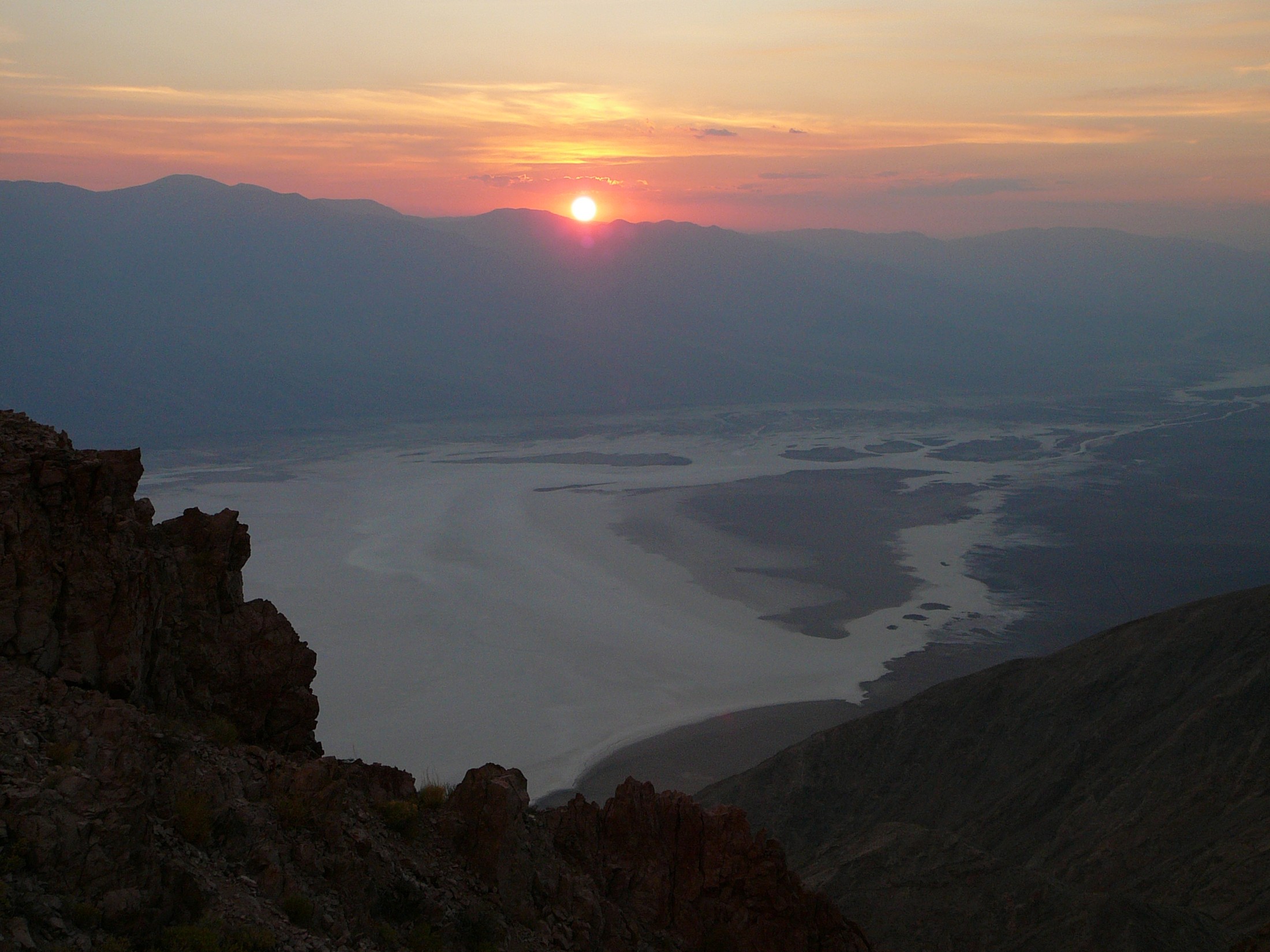
The whole valley floor from more than 5,000 feet up in the Black Mountains – the Badwater salt pan directly below, Telescope Peak across the trough, dawn light filling the valley and night-sky work from the rim.
The vertical contrast is the frame: white salt pan a mile straight down, the Panamints wall behind. Dawn reveals the valley floor; sunset, as in our hero, silhouettes the mountains beneath a warm horizon. A wide lens takes the sweep; a long lens picks out the salt patterns and the Badwater Road thread. The rim doubles as a night-sky platform.
Starting settings: Start at f/11, ISO 100 on a tripod. Bracket the bright pan against the shadowed range; a long lens isolates salt patterns.
Landmark GPS: 36.2211, -116.7256
Named destination: Dante's View
Death Valley National Park, California
Open Dante's View in Google Maps
Access: Dante's View at the end of its paved road south from CA-190 east of Furnace Creek; drive-up rim viewpoints. Far cooler than the valley – a guide-worthy midday escape from valley heat. Entrance pass required. The pin is the named Dante's View.
5. Artist's Palette
 Save
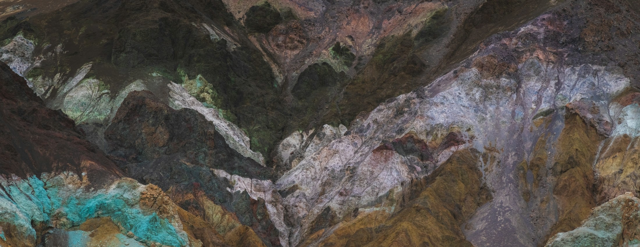
Volcanic hills banded in pink, green and gold along the one-way Artist Drive loop – late-afternoon light saturates the colors, and the dips of the drive itself are frames.
Late afternoon is the window: low sun saturates the mineral bands – our hero pairs warm upper hills with shaded mineral bands. The overlook gives the wide palette; the drive's dips and curves give foreground roads leading into color. Soft overcast can reveal subtle mineral color; for a warm horizon, choose a clear evening.
Starting settings: Start at f/11, ISO 100 on a tripod. A polarizer deepens the mineral colors; late light beats midday by a wide margin.
Landmark GPS: 36.3635, -116.8027
Named destination: Artists Palette
Death Valley National Park, California
Open Artists Palette in Google Maps
Access: Artist Drive is a one-way (south to north) paved loop off Badwater Road north of Badwater Basin; narrow with dips – oversized vehicles restricted. Pairs naturally with Badwater Basin and Golden Canyon on the same corridor. Entrance pass required. The pin is the named Artists Palette.
Keep the remote routes separate
These five destinations are a starting set, not a route covering the whole park. Remote dune and playa trips involve different roads, vehicle needs and time. Carry enough water and fuel, do not depend on mobile service, and turn back when conditions exceed your vehicle or experience. Never drive onto a playa or walk on wet surfaces that can retain footprints.
Get the full Death Valley photography guide
The $47 PDF has eight main photography spots plus one distinct bonus spot across 34 pages. It includes landmark GPS, tappable Maps links, composition tips and access notes, with remote trips clearly separated from the core destinations. Updates are included free.
Get the Death Valley Photography Guide – $47
Before you go
Read NPS current conditions and road conditions before leaving. Printed access notes do not override a current closure or make an unsuitable vehicle safe.
What to Pack
A landscape kit built around wide views, steady support, and changing light is a useful starting point. Compare the gear and choose what fits your camera, budget, and conditions. These links lead to B&H Photo Video and Amazon.
| What & Why | B&H | Amazon |
|---|---|---|
Sony 16-35mm f/2.8 GM Check the camera mount before buying. Choose a focal length that fits the photos you plan to make. | Shop B&H → | Shop Amazon → |
Peak Design Travel Tripod Check the load rating, packed size and local tripod rules before buying. | Shop B&H → | Shop Amazon → |
Breakthrough X4 CPL Check the filter type and lens thread size before buying. Use a filter only when the effect fits your photo. | Shop B&H → | Shop Amazon → |
Breakthrough X4 10-stop ND Check the filter type and lens thread size before buying. Use a filter only when the effect fits your photo. | Shop B&H → | Shop Amazon → |
Sony NP-FZ100 battery Use the battery type specified for your camera. Bring a spare if your shooting plan calls for one. | Shop B&H → | Shop Amazon → |
SanDisk Extreme Pro 128GB Check the card format and speed requirements specified for your camera. | Shop B&H → | Shop Amazon → |
Koh microfiber cloths Compare this option with your current kit. Check compatibility and the product details before buying. | Shop B&H → | Shop Amazon → |
B&H and Amazon links are affiliate links. We earn a small commission on purchases at no extra cost to you.